Houses, Hordle Place, Dovercourt
Introduction
The photograph on this page of Houses, Hordle Place, Dovercourt by Robin Webster as part of the Geograph project.
The Geograph project started in 2005 with the aim of publishing, organising and preserving representative images for every square kilometre of Great Britain, Ireland and the Isle of Man.

There are currently over 7.5m images from over 14,400 individuals and you can help contribute to the project by visiting https://www.geograph.org.uk
Houses, Hordle Place, Dovercourt
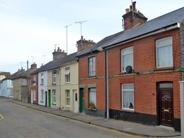
Image: © Robin Webster Taken: 8 Sep 2018
Only accessible on foot from the High Street end.
Images are licensed for reuse under creativecommons.org/licenses/by-sa/2.0
Image Location
Latitude
51.936457
Longitude
1.27947