Farmland near Wylye
Introduction
The photograph on this page of Farmland near Wylye by Derek Harper as part of the Geograph project.
The Geograph project started in 2005 with the aim of publishing, organising and preserving representative images for every square kilometre of Great Britain, Ireland and the Isle of Man.

There are currently over 7.5m images from over 14,400 individuals and you can help contribute to the project by visiting https://www.geograph.org.uk
Farmland near Wylye
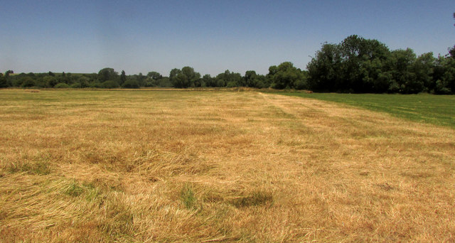
Image: © Derek Harper Taken: 30 Jun 2018
Looking right from where Image] was taken, across the flood plain of the River Wylye, which is 300 metres away.
Images are licensed for reuse under creativecommons.org/licenses/by-sa/2.0
Image Location
Latitude
51.137759
Longitude
-1.984084