The Lurgancullerboy section of McShanes Road
Introduction
The photograph on this page of The Lurgancullerboy section of McShanes Road by Eric Jones as part of the Geograph project.
The Geograph project started in 2005 with the aim of publishing, organising and preserving representative images for every square kilometre of Great Britain, Ireland and the Isle of Man.

There are currently over 7.5m images from over 14,400 individuals and you can help contribute to the project by visiting https://www.geograph.org.uk
The Lurgancullerboy section of McShanes Road
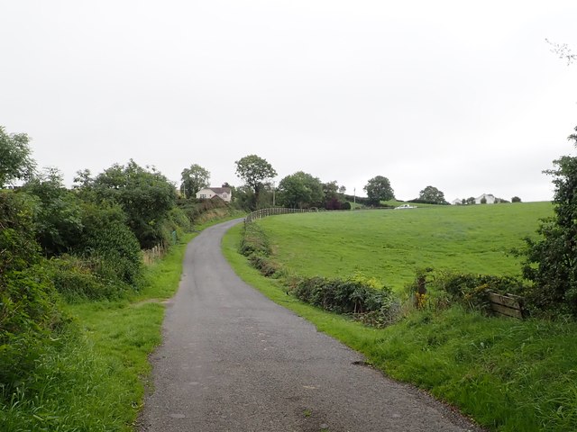
Image: © Eric Jones Taken: 21 Aug 2018
Lurgancullerboy is a long tapering townland which straddles the B30. As late as 1901 it had a significant Irish speaking population. Like most of the South Armagh townlands it has suffered considerable depopulation during the past 150 years. http://www.fuls.org.uk/cregganhistory/timelinelurgancullenboy.htm
Images are licensed for reuse under creativecommons.org/licenses/by-sa/2.0
Image Location
Latitude
54.104596
Longitude
-6.560476