Monyquil Farm
Introduction
The photograph on this page of Monyquil Farm by Kevin Philpott as part of the Geograph project.
The Geograph project started in 2005 with the aim of publishing, organising and preserving representative images for every square kilometre of Great Britain, Ireland and the Isle of Man.

There are currently over 7.5m images from over 14,400 individuals and you can help contribute to the project by visiting https://www.geograph.org.uk
Monyquil Farm
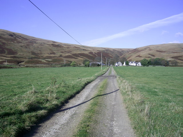
Image: © Kevin Philpott Taken: 19 Oct 2007
The farm track up to Monyquil, which comes off the B880 String Road. Taken on a warm autumn afternoon. The bit of the square between the farm and the Machrie Water is quite good grassland, but behind the farm the land rises very steeply to Garbh Thorr.
Images are licensed for reuse under creativecommons.org/licenses/by-sa/2.0
Image Location
Latitude
55.567621
Longitude
-5.271884