Approach to HMP Coldingley
Introduction
The photograph on this page of Approach to HMP Coldingley by Ron Strutt as part of the Geograph project.
The Geograph project started in 2005 with the aim of publishing, organising and preserving representative images for every square kilometre of Great Britain, Ireland and the Isle of Man.

There are currently over 7.5m images from over 14,400 individuals and you can help contribute to the project by visiting https://www.geograph.org.uk
Approach to HMP Coldingley
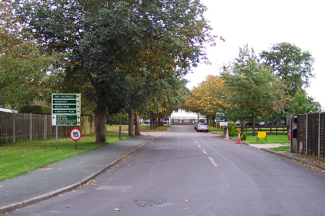
Image: © Ron Strutt Taken: 28 Sep 2005
From the HM Prison Service website: "Coldingley was opened in 1969 as a Category B training prison. In 1993 it was re-designated as Category C training prison. Coldingley is focused on the resettlement of prisoners. It provides a framework to support the achievement of realistic resettlement goals by offering opportunities to prisoners willing to work hard and accept responsibility for achieving those goals." Coldingley was built on the site of the Shaftesbury School which closed down in 1960.
Images are licensed for reuse under creativecommons.org/licenses/by-sa/2.0
Image Location


Leaflet Map data © OpenStreetMap
Latitude
51.323147
Longitude
-0.643784