River View and Rivermead
Introduction
The photograph on this page of River View and Rivermead by John Sutton as part of the Geograph project.
The Geograph project started in 2005 with the aim of publishing, organising and preserving representative images for every square kilometre of Great Britain, Ireland and the Isle of Man.

There are currently over 7.5m images from over 14,400 individuals and you can help contribute to the project by visiting https://www.geograph.org.uk
River View and Rivermead
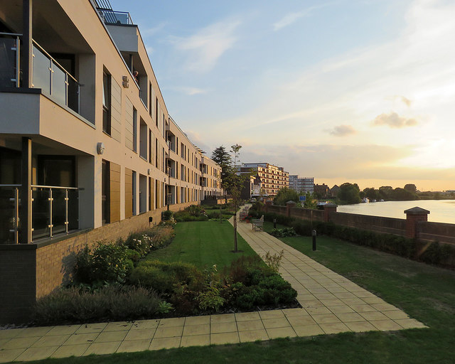
Image: © John Sutton Taken: 5 Sep 2018
Flats on Wilford Lane which back on to the River Trent. The nearer River View Court blocks are recent, but Rivermead dates from the 1960s. The picture was taken towards sunset on a warm evening in early September.
Images are licensed for reuse under creativecommons.org/licenses/by-sa/2.0
Image Location
Latitude
52.932057
Longitude
-1.139759