Foot and cycleway ramp
Introduction
The photograph on this page of Foot and cycleway ramp by Robin Webster as part of the Geograph project.
The Geograph project started in 2005 with the aim of publishing, organising and preserving representative images for every square kilometre of Great Britain, Ireland and the Isle of Man.

There are currently over 7.5m images from over 14,400 individuals and you can help contribute to the project by visiting https://www.geograph.org.uk
Foot and cycleway ramp
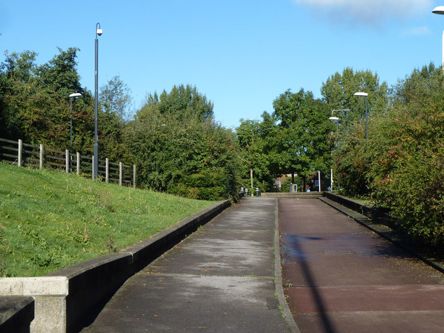
Image: © Robin Webster Taken: 6 Oct 2012
Rising from under the road roundabout towards Ruislip Road and Yeading Lane.
Images are licensed for reuse under creativecommons.org/licenses/by-sa/2.0
Image Location
Latitude
51.536586
Longitude
-0.391898