Paths by the Leven at Renton
Introduction
The photograph on this page of Paths by the Leven at Renton by Lairich Rig as part of the Geograph project.
The Geograph project started in 2005 with the aim of publishing, organising and preserving representative images for every square kilometre of Great Britain, Ireland and the Isle of Man.

There are currently over 7.5m images from over 14,400 individuals and you can help contribute to the project by visiting https://www.geograph.org.uk
Paths by the Leven at Renton
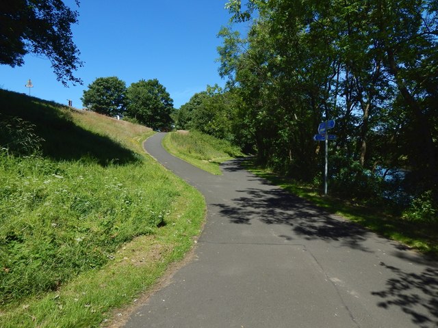
Image: © Lairich Rig Taken: 24 Jun 2018
The path on the right, nearest the river, is part of a cycle route, NCN 7. Leading up the embankment on the left is a path, about 100 metres long, that leads to Main Street, Renton, beside a pedestrian crossing (as evidence of which, note the top of a traffic light that is visible in the left background). That end of the path is also at the western end of Image, which would be visible on the right, were it not for the trees. Behind the photographer, another path like this one leads up the embankment in almost the opposite direction: Image Both paths are marked on the 1:25000 map, but they are more clearly seen on larger-scale mapping.
Images are licensed for reuse under creativecommons.org/licenses/by-sa/2.0
Image Location
Latitude
55.97039
Longitude
-4.583719