Path leading into Lomondgate housing
Introduction
The photograph on this page of Path leading into Lomondgate housing by Lairich Rig as part of the Geograph project.
The Geograph project started in 2005 with the aim of publishing, organising and preserving representative images for every square kilometre of Great Britain, Ireland and the Isle of Man.

There are currently over 7.5m images from over 14,400 individuals and you can help contribute to the project by visiting https://www.geograph.org.uk
Path leading into Lomondgate housing
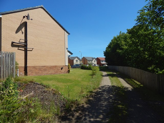
Image: © Lairich Rig Taken: 24 Jun 2018
A path, shown in Image, leads here, and thus into the housing at Lomondgate. The house in the left foreground is the one that is shown at the far right in the other picture. At the time the present picture was taken, this was the western edge of the occupied housing at Lomondgate, but new houses were being built, extending the development westwards towards the River Leven: see Image, taken from the same place as the present picture, but looking in the opposite direction. See Image for another view.
Images are licensed for reuse under creativecommons.org/licenses/by-sa/2.0
Image Location
Latitude
55.9565
Longitude
-4.568854