Durham University Cricket Grounds
Introduction
The photograph on this page of Durham University Cricket Grounds by David Robinson as part of the Geograph project.
The Geograph project started in 2005 with the aim of publishing, organising and preserving representative images for every square kilometre of Great Britain, Ireland and the Isle of Man.

There are currently over 7.5m images from over 14,400 individuals and you can help contribute to the project by visiting https://www.geograph.org.uk
Durham University Cricket Grounds
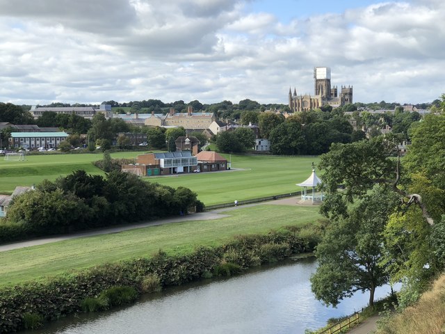
Image: © David Robinson Taken: 6 Sep 2018
View to the University cricket grounds across the Wear with the cathedral prominent in the background. This view was opened up following a landslip on the steep riverside bank in 2013, prior to then this area was mature woodland. The footpaths through the landslip area were closed for four years while the land was stabilised. The footpaths were re-opened in 2017.
Images are licensed for reuse under creativecommons.org/licenses/by-sa/2.0
Image Location
Latitude
54.774745
Longitude
-1.564544