Footpath 1637
Introduction
The photograph on this page of Footpath 1637 by Robin Webster as part of the Geograph project.
The Geograph project started in 2005 with the aim of publishing, organising and preserving representative images for every square kilometre of Great Britain, Ireland and the Isle of Man.

There are currently over 7.5m images from over 14,400 individuals and you can help contribute to the project by visiting https://www.geograph.org.uk
Footpath 1637
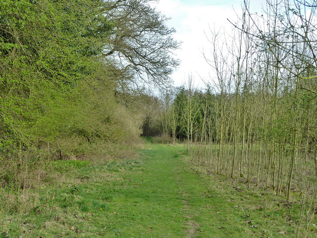
Image: © Robin Webster Taken: 3 Apr 2011
Running roughly parallel to the A24, which it crosses at the end of this stretch.
Images are licensed for reuse under creativecommons.org/licenses/by-sa/2.0
Image Location
Latitude
51.049122
Longitude
-0.354766