The entrance to Manor Farm
Introduction
The photograph on this page of The entrance to Manor Farm by Michael Dibb as part of the Geograph project.
The Geograph project started in 2005 with the aim of publishing, organising and preserving representative images for every square kilometre of Great Britain, Ireland and the Isle of Man.

There are currently over 7.5m images from over 14,400 individuals and you can help contribute to the project by visiting https://www.geograph.org.uk
The entrance to Manor Farm
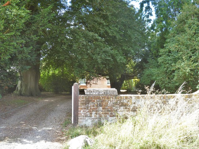
Image: © Michael Dibb Taken: 13 Aug 2018
The farmhouse glimpsed through the entrance is late 17th or early 18th century and is listed, grade II, with details at: https://www.historicengland.org.uk/listing/the-list/list-entry/1365933 Known until recently as West Overton farm, there was much opposition to the farm's plans to build houses on its land.
Images are licensed for reuse under creativecommons.org/licenses/by-sa/2.0
Image Location
Latitude
51.411328
Longitude
-1.816197