Lammas Recreation Ground
Introduction
The photograph on this page of Lammas Recreation Ground by Mike Quinn as part of the Geograph project.
The Geograph project started in 2005 with the aim of publishing, organising and preserving representative images for every square kilometre of Great Britain, Ireland and the Isle of Man.

There are currently over 7.5m images from over 14,400 individuals and you can help contribute to the project by visiting https://www.geograph.org.uk
Lammas Recreation Ground
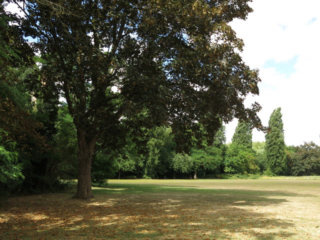
Image: © Mike Quinn Taken: 8 Aug 2018
The southern and western edges of the recreation ground are determined by the course of the Shire Ditch, which marks the boundary between Buckinghamshire and Middlesex. In the early 17th C, Image was moved from its original position somewhere near Staines Town Hall and Staines Bridge to where the Shire Ditch joined the Thames (close to my camera position). The London Stone was moved from here in 1986, and has been in the Spelthorne Museum since 2004 http://www.spelthornemuseum.org.uk/2exhibits2.html . A replica was put here in the recreation ground - see Image (photographed by Roger W Haworth) - but it too was moved, and is now (2018) on the river bank behind the town hall - see Image (photographed by Colin Smith) and a wider view Image (photographed by Alan Hunt).
Images are licensed for reuse under creativecommons.org/licenses/by-sa/2.0
Image Location
Latitude
51.436093
Longitude
-0.524914