Scotsmill Bridge
Introduction
The photograph on this page of Scotsmill Bridge by valenta as part of the Geograph project.
The Geograph project started in 2005 with the aim of publishing, organising and preserving representative images for every square kilometre of Great Britain, Ireland and the Isle of Man.

There are currently over 7.5m images from over 14,400 individuals and you can help contribute to the project by visiting https://www.geograph.org.uk
Scotsmill Bridge
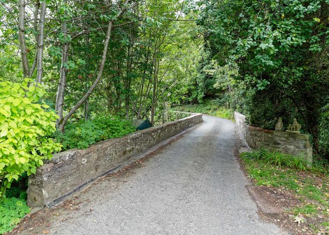
Image: © valenta Taken: 25 Aug 2018
The category B listed Scotsmill Bridge over the Burn of Boyne dates from the late 18th-century. Difficult to photograph, as the southern arch is part of the garden of Scotsmill Mill and the northern arch is in a deep gorge that could only be approached through another private residence. https://britishlistedbuildings.co.uk/200334225-scotsmill-mill-and-former-steading-banff-and-district-ward#.W40JaMInZaQ
Images are licensed for reuse under creativecommons.org/licenses/by-sa/2.0
Image Location
Latitude
57.677032
Longitude
-2.655065