National Cycle Network Route 883 signpost, Nantymoel
Introduction
The photograph on this page of National Cycle Network Route 883 signpost, Nantymoel by Jaggery as part of the Geograph project.
The Geograph project started in 2005 with the aim of publishing, organising and preserving representative images for every square kilometre of Great Britain, Ireland and the Isle of Man.

There are currently over 7.5m images from over 14,400 individuals and you can help contribute to the project by visiting https://www.geograph.org.uk
National Cycle Network Route 883 signpost, Nantymoel
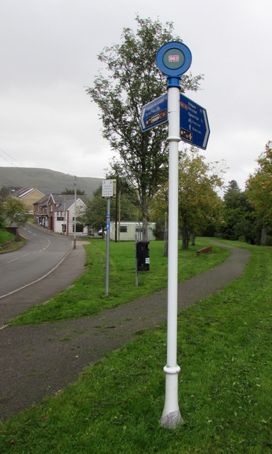
Image: © Jaggery Taken: 29 Aug 2018
Commercial Street Nantymoel is on the left. The cycle route ahead on the right uses the route of a dismantled railway on flat land near the River Ogmore. Nantymoel railway station which was nearby closed in 1958. Route 883 extends for nearly 7km through Ogmore Vale from Nantymoel to Blackmill where the route joins Route 4 which leads west to Port Talbot or east to Pontypridd.
Images are licensed for reuse under creativecommons.org/licenses/by-sa/2.0
Image Location
Latitude
51.626304
Longitude
-3.542262