Marsworth Road, Pitstone
Introduction
The photograph on this page of Marsworth Road, Pitstone by Stephen McKay as part of the Geograph project.
The Geograph project started in 2005 with the aim of publishing, organising and preserving representative images for every square kilometre of Great Britain, Ireland and the Isle of Man.

There are currently over 7.5m images from over 14,400 individuals and you can help contribute to the project by visiting https://www.geograph.org.uk
Marsworth Road, Pitstone
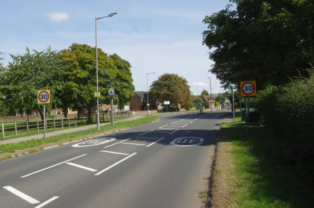
Image: © Stephen McKay Taken: 30 Aug 2018
The B489 enters Pitstone village's 30mph zone; the village sign featuring Pitstone windmill can be seen just beyond the first lamp post.
Images are licensed for reuse under creativecommons.org/licenses/by-sa/2.0
Image Location
Latitude
51.831823
Longitude
-0.644088