21 & 20 Mid Shore, Pittenweem
Introduction
The photograph on this page of 21 & 20 Mid Shore, Pittenweem by Richard Law as part of the Geograph project.
The Geograph project started in 2005 with the aim of publishing, organising and preserving representative images for every square kilometre of Great Britain, Ireland and the Isle of Man.

There are currently over 7.5m images from over 14,400 individuals and you can help contribute to the project by visiting https://www.geograph.org.uk
21 & 20 Mid Shore, Pittenweem
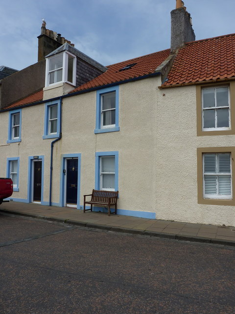
Image: © Richard Law Taken: 18 May 2018
Collectively category B listed https://britishlistedbuildings.co.uk/200385881-21-mid-shore-elim-and-the-forth-east-neuk-and-landward-ward#.W4vKndQrLGg in 1972, these two houses are also known as 'Forth' and 'Elim', and date from the late 18th century.
Images are licensed for reuse under creativecommons.org/licenses/by-sa/2.0
Image Location
Latitude
56.212027
Longitude
-2.729819