New housing estate, Paignton
Introduction
The photograph on this page of New housing estate, Paignton by Derek Harper as part of the Geograph project.
The Geograph project started in 2005 with the aim of publishing, organising and preserving representative images for every square kilometre of Great Britain, Ireland and the Isle of Man.

There are currently over 7.5m images from over 14,400 individuals and you can help contribute to the project by visiting https://www.geograph.org.uk
New housing estate, Paignton
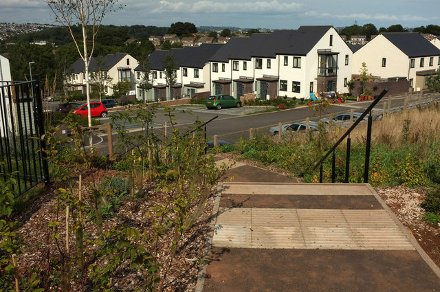
Image: © Derek Harper Taken: 30 Aug 2018
Much of this new estate, the Fusion development, has yet to appear on maps, hence the vagueness of the grid references, even though, as you can see, houses are occupied. The steps lead down from a play area to Hollyhock Way.
Images are licensed for reuse under creativecommons.org/licenses/by-sa/2.0
Image Location
Latitude
50.41732
Longitude
-3.587669