North Hill
Introduction
The photograph on this page of North Hill by Derek Harper as part of the Geograph project.
The Geograph project started in 2005 with the aim of publishing, organising and preserving representative images for every square kilometre of Great Britain, Ireland and the Isle of Man.

There are currently over 7.5m images from over 14,400 individuals and you can help contribute to the project by visiting https://www.geograph.org.uk
North Hill
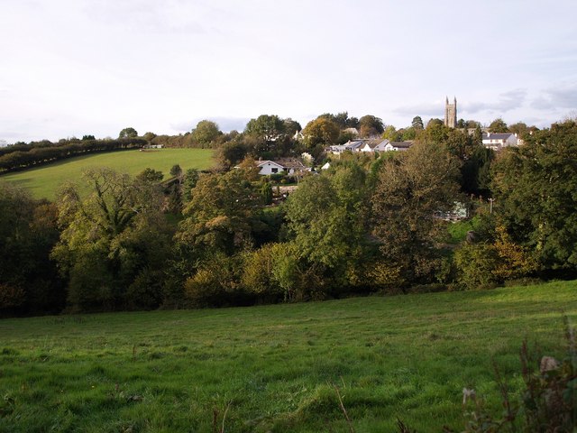
Image: © Derek Harper Taken: 18 Oct 2007
A somewhat prosaic name for a Cornish village. It stands on the slopes of the Lynher valley, dominated by the granite tower of St Torney's church. Seen here from the lane approaching from Berriowbridge.
Images are licensed for reuse under creativecommons.org/licenses/by-sa/2.0
Image Location
Latitude
50.562608
Longitude
-4.44258