Towards Knocknagoney
Introduction
The photograph on this page of Towards Knocknagoney by Rossographer as part of the Geograph project.
The Geograph project started in 2005 with the aim of publishing, organising and preserving representative images for every square kilometre of Great Britain, Ireland and the Isle of Man.

There are currently over 7.5m images from over 14,400 individuals and you can help contribute to the project by visiting https://www.geograph.org.uk
Towards Knocknagoney
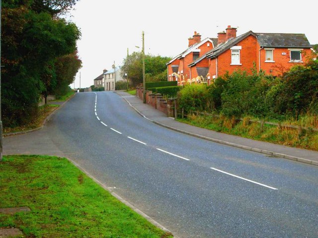
Image: © Rossographer Taken: 20 Oct 2007
Looking down road near Redburn Country Park.
Images are licensed for reuse under creativecommons.org/licenses/by-sa/2.0
Image Location
Latitude
54.62023
Longitude
-5.847467