Directions and distances sign near Dingestow
Introduction
The photograph on this page of Directions and distances sign near Dingestow by Jaggery as part of the Geograph project.
The Geograph project started in 2005 with the aim of publishing, organising and preserving representative images for every square kilometre of Great Britain, Ireland and the Isle of Man.

There are currently over 7.5m images from over 14,400 individuals and you can help contribute to the project by visiting https://www.geograph.org.uk
Directions and distances sign near Dingestow
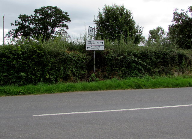
Image: © Jaggery Taken: 27 Aug 2018
The sign on the right here https://www.geograph.org.uk/photo/5889558 shows left for Monmouth (Trefywny in Welsh) 4 miles, right for Raglan (Rhaglan in Welsh) 3½ miles.
Images are licensed for reuse under creativecommons.org/licenses/by-sa/2.0
Image Location
Latitude
51.783731
Longitude
-2.779862