Garth Road closed
Introduction
The photograph on this page of Garth Road closed by Nigel Davies as part of the Geograph project.
The Geograph project started in 2005 with the aim of publishing, organising and preserving representative images for every square kilometre of Great Britain, Ireland and the Isle of Man.

There are currently over 7.5m images from over 14,400 individuals and you can help contribute to the project by visiting https://www.geograph.org.uk
Garth Road closed
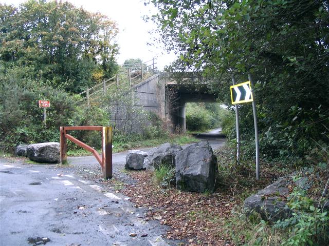
Image: © Nigel Davies Taken: 14 Oct 2007
This is the view south. Garth road used to continue under the motorway and down the river, emerging where there is now a huge new ASDA. This end of the road is now closed and the middle section is gone. Some of it has become part of cycle route 43.
Images are licensed for reuse under creativecommons.org/licenses/by-sa/2.0
Image Location
Latitude
51.676652
Longitude
-3.904262