Montrose House [1]
Introduction
The photograph on this page of Montrose House [1] by Michael Dibb as part of the Geograph project.
The Geograph project started in 2005 with the aim of publishing, organising and preserving representative images for every square kilometre of Great Britain, Ireland and the Isle of Man.

There are currently over 7.5m images from over 14,400 individuals and you can help contribute to the project by visiting https://www.geograph.org.uk
Montrose House [1]
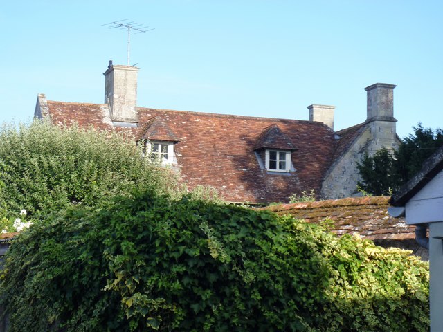
Image: © Michael Dibb Taken: 25 Jul 2018
A glimpse of the roof of Montrose House which was until 1961 The Rectory. Built of chequered flint and limestone circa 1700 with late 19th century additions. Listed, grade II, with details at: https://www.historicengland.org.uk/listing/the-list/list-entry/1183051
Images are licensed for reuse under creativecommons.org/licenses/by-sa/2.0
Image Location


Leaflet Map data © OpenStreetMap
Latitude
51.13595
Longitude
-1.947639