Castle Street, Mere
Introduction
The photograph on this page of Castle Street, Mere by Derek Harper as part of the Geograph project.
The Geograph project started in 2005 with the aim of publishing, organising and preserving representative images for every square kilometre of Great Britain, Ireland and the Isle of Man.

There are currently over 7.5m images from over 14,400 individuals and you can help contribute to the project by visiting https://www.geograph.org.uk
Castle Street, Mere
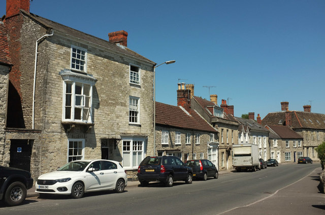
Image: © Derek Harper Taken: 29 Jun 2018
Another view along the B3095 taken further east than Image the tall building on the left is Yew Glen https://www.historicengland.org.uk/listing/the-list/list-entry/1199880 .
Images are licensed for reuse under creativecommons.org/licenses/by-sa/2.0
Image Location
Latitude
51.090508
Longitude
-2.270529