Step Row, Dundee
Introduction
The photograph on this page of Step Row, Dundee by Russel Wills as part of the Geograph project.
The Geograph project started in 2005 with the aim of publishing, organising and preserving representative images for every square kilometre of Great Britain, Ireland and the Isle of Man.

There are currently over 7.5m images from over 14,400 individuals and you can help contribute to the project by visiting https://www.geograph.org.uk
Step Row, Dundee
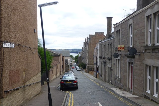
Image: © Russel Wills Taken: 27 Aug 2018
Running down from the Perth Road to Magdalen Yard Road. The River Tay and the Tay [rail] Bridge in the distance.
Images are licensed for reuse under creativecommons.org/licenses/by-sa/2.0
Image Location
Latitude
56.455395
Longitude
-2.991978