St Albans: The King William IV public house
Introduction
The photograph on this page of St Albans: The King William IV public house by Nigel Cox as part of the Geograph project.
The Geograph project started in 2005 with the aim of publishing, organising and preserving representative images for every square kilometre of Great Britain, Ireland and the Isle of Man.

There are currently over 7.5m images from over 14,400 individuals and you can help contribute to the project by visiting https://www.geograph.org.uk
St Albans: The King William IV public house
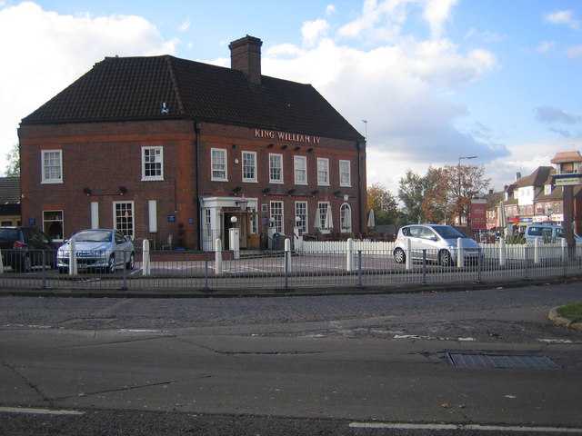
Image: © Nigel Cox Taken: 17 Oct 2007
Situated at the junction of Sandridge Road with Beech Road. Reputedly the father of ten illegitimate children, he seems an odd choice to name a pub after!
Images are licensed for reuse under creativecommons.org/licenses/by-sa/2.0
Image Location


Leaflet Map data © OpenStreetMap
Latitude
51.765914
Longitude
-0.32333