St Albans: Railway line at the Sandridge Road bridge
Introduction
The photograph on this page of St Albans: Railway line at the Sandridge Road bridge by Nigel Cox as part of the Geograph project.
The Geograph project started in 2005 with the aim of publishing, organising and preserving representative images for every square kilometre of Great Britain, Ireland and the Isle of Man.

There are currently over 7.5m images from over 14,400 individuals and you can help contribute to the project by visiting https://www.geograph.org.uk
St Albans: Railway line at the Sandridge Road bridge
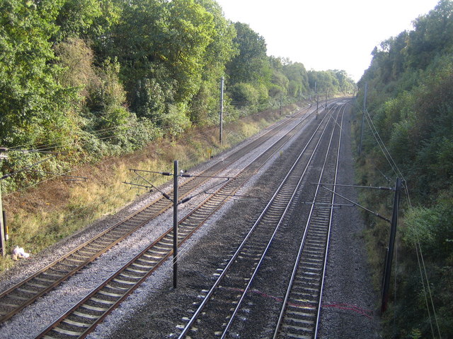
Image: © Nigel Cox Taken: 17 Oct 2007
Viewed looking "up" towards London and St Albans City station, the tracks on the left are for the local stopping trains currently operated by First Capital Connect, and the tracks on the right are for their fast trains and for Midland Mainline's trains to the Midlands.
Images are licensed for reuse under creativecommons.org/licenses/by-sa/2.0
Image Location
Latitude
51.764994
Longitude
-0.321915