Unclassified road from Monmouth towards Raglan
Introduction
The photograph on this page of Unclassified road from Monmouth towards Raglan by Jaggery as part of the Geograph project.
The Geograph project started in 2005 with the aim of publishing, organising and preserving representative images for every square kilometre of Great Britain, Ireland and the Isle of Man.

There are currently over 7.5m images from over 14,400 individuals and you can help contribute to the project by visiting https://www.geograph.org.uk
Unclassified road from Monmouth towards Raglan
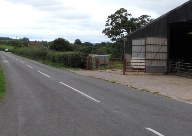
Image: © Jaggery Taken: 27 Aug 2018
Nearby signs https://www.geograph.org.uk/photo/5888090 show Raglan 4 (miles), Monmouth 4½ This unclassified road was formerly part of the A40 which now uses a nearby former railway route through this part of rural Monmouthshire. A farm building https://www.geograph.org.uk/photo/5888070 is on the right.
Images are licensed for reuse under creativecommons.org/licenses/by-sa/2.0
Image Location
Latitude
51.781901
Longitude
-2.784614