Towards John Street and the upper end of Cross Street, Nantymoel
Introduction
The photograph on this page of Towards John Street and the upper end of Cross Street, Nantymoel by Jaggery as part of the Geograph project.
The Geograph project started in 2005 with the aim of publishing, organising and preserving representative images for every square kilometre of Great Britain, Ireland and the Isle of Man.

There are currently over 7.5m images from over 14,400 individuals and you can help contribute to the project by visiting https://www.geograph.org.uk
Towards John Street and the upper end of Cross Street, Nantymoel
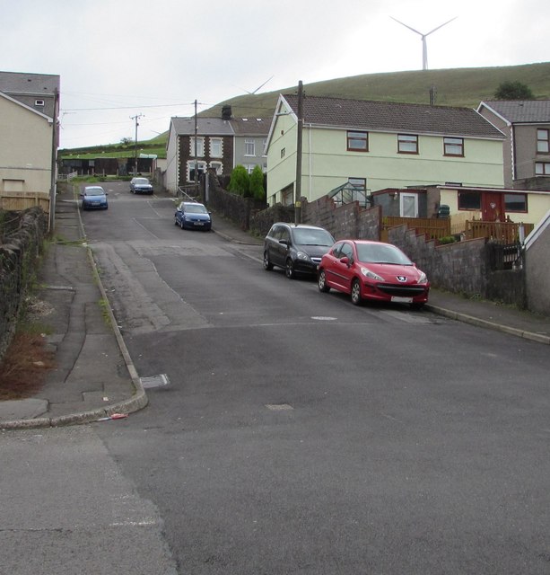
Image: © Jaggery Taken: 29 Aug 2018
Looking east up Cross Street from the Oakfield Terrace crossroads.
Images are licensed for reuse under creativecommons.org/licenses/by-sa/2.0
Image Location
Latitude
51.618319
Longitude
-3.534047