A View looking down on Spittal
Introduction
The photograph on this page of A View looking down on Spittal by Jennifer Petrie as part of the Geograph project.
The Geograph project started in 2005 with the aim of publishing, organising and preserving representative images for every square kilometre of Great Britain, Ireland and the Isle of Man.

There are currently over 7.5m images from over 14,400 individuals and you can help contribute to the project by visiting https://www.geograph.org.uk
A View looking down on Spittal
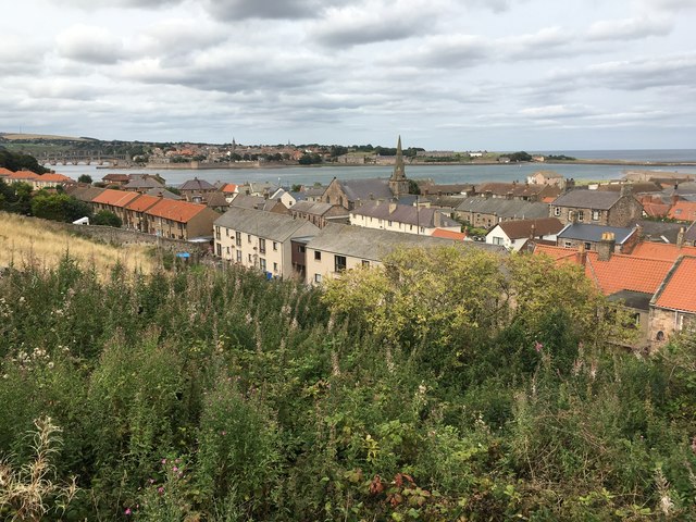
Image: © Jennifer Petrie Taken: 28 Aug 2018
We had a grand view of Spittal looking down from this very high path. The path, beginning in an alley off Middle Street, leads up steeply to the caravan site and to the railway bridge.
Images are licensed for reuse under creativecommons.org/licenses/by-sa/2.0
Image Location
Latitude
55.759556
Longitude
-1.998221