The A489 road leaving Machynlleth
Introduction
The photograph on this page of The A489 road leaving Machynlleth by John Lucas as part of the Geograph project.
The Geograph project started in 2005 with the aim of publishing, organising and preserving representative images for every square kilometre of Great Britain, Ireland and the Isle of Man.

There are currently over 7.5m images from over 14,400 individuals and you can help contribute to the project by visiting https://www.geograph.org.uk
The A489 road leaving Machynlleth
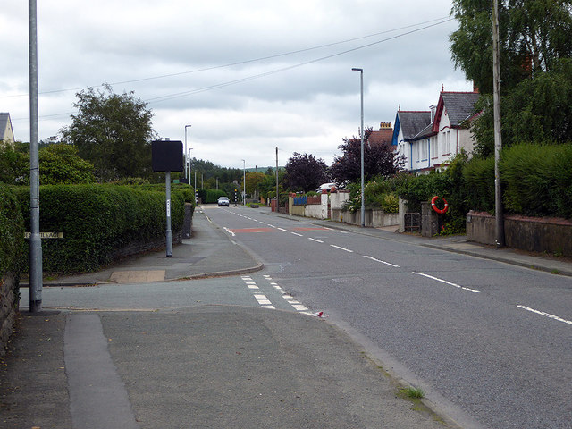
Image: © John Lucas Taken: 28 Aug 2018
A relatively short trunk road which joins Machynlleth to the A470 arterial road at Cemmaes Road. It contains two short stretches of the Glyndŵr's Way long-distance path.
Images are licensed for reuse under creativecommons.org/licenses/by-sa/2.0
Image Location
Latitude
52.591739
Longitude
-3.841687