Farmland south of West Hallam Storage Depot
Introduction
The photograph on this page of Farmland south of West Hallam Storage Depot by Garth Newton as part of the Geograph project.
The Geograph project started in 2005 with the aim of publishing, organising and preserving representative images for every square kilometre of Great Britain, Ireland and the Isle of Man.

There are currently over 7.5m images from over 14,400 individuals and you can help contribute to the project by visiting https://www.geograph.org.uk
Farmland south of West Hallam Storage Depot
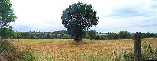
Image: © Garth Newton Taken: 28 Sep 2005
This is the view over the farmland from Cat and Fiddle Lane northwards towards the West Hallam Storage Depot that occupies most of the northern half of the square. The warehouse roofs can be seen beyond the trees that are alongside Stanley Brook.
Images are licensed for reuse under creativecommons.org/licenses/by-sa/2.0
Image Location


Leaflet Map data © OpenStreetMap
Latitude
52.958687
Longitude
-1.356276