Subdivided housing
Introduction
The photograph on this page of Subdivided housing by David Martin as part of the Geograph project.
The Geograph project started in 2005 with the aim of publishing, organising and preserving representative images for every square kilometre of Great Britain, Ireland and the Isle of Man.

There are currently over 7.5m images from over 14,400 individuals and you can help contribute to the project by visiting https://www.geograph.org.uk
Subdivided housing
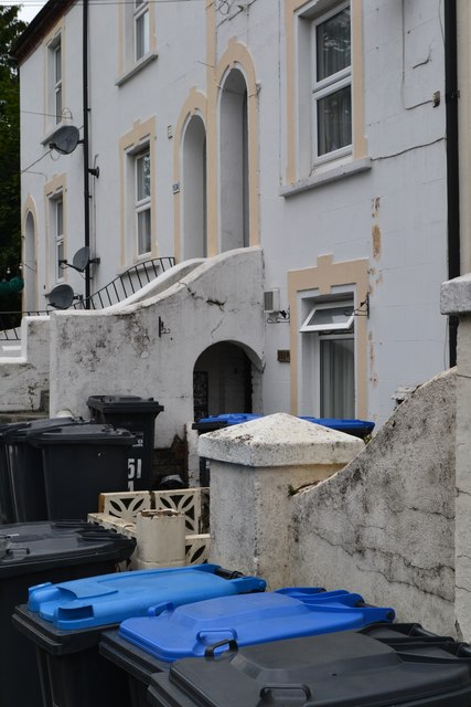
Image: © David Martin Taken: 27 Aug 2018
An challenge with the subdivision of large older houses is where to put the wheelie bins...
Images are licensed for reuse under creativecommons.org/licenses/by-sa/2.0
Image Location
Latitude
51.12369
Longitude
-0.014152