Uxbridge Belmont Road Underground station (site), Greater London
Introduction
The photograph on this page of Uxbridge Belmont Road Underground station (site), Greater London by Nigel Thompson as part of the Geograph project.
The Geograph project started in 2005 with the aim of publishing, organising and preserving representative images for every square kilometre of Great Britain, Ireland and the Isle of Man.

There are currently over 7.5m images from over 14,400 individuals and you can help contribute to the project by visiting https://www.geograph.org.uk
Uxbridge Belmont Road Underground station (site), Greater London
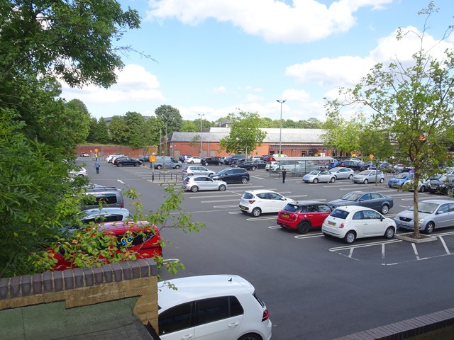
Image: © Nigel Thompson Taken: 31 Jul 2018
Opened in 1904 by the Metropolitan Railway as the terminus of the line from Harrow, this station closed in 1938 when it was replaced by the current Underground station, which is a terminus for the Metropolitan and Piccadilly lines. View north east towards the former forecourt - the building was situated between the trolley park and the main building, with the running lines immediately behind it. The buffer stops would have been extreme left on this image. Like 55% of the Underground network, this part is actually overground.
Images are licensed for reuse under creativecommons.org/licenses/by-sa/2.0
Image Location


Leaflet Map data © OpenStreetMap
Latitude
51.548581
Longitude
-0.475415