Former playing fields
Introduction
The photograph on this page of Former playing fields by Gerald England as part of the Geograph project.
The Geograph project started in 2005 with the aim of publishing, organising and preserving representative images for every square kilometre of Great Britain, Ireland and the Isle of Man.

There are currently over 7.5m images from over 14,400 individuals and you can help contribute to the project by visiting https://www.geograph.org.uk
Former playing fields
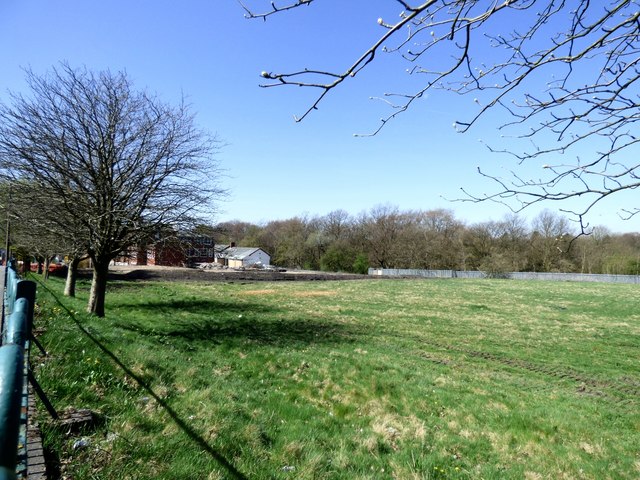
Image: © Gerald England Taken: 19 Apr 2018
As demolition of the former college begins, these fields will soon become a building site for an estate of new houses.
Images are licensed for reuse under creativecommons.org/licenses/by-sa/2.0
Image Location
Latitude
53.45713
Longitude
-2.07255