Former Chapel (Borth)
Introduction
The photograph on this page of Former Chapel (Borth) by Fabian Musto as part of the Geograph project.
The Geograph project started in 2005 with the aim of publishing, organising and preserving representative images for every square kilometre of Great Britain, Ireland and the Isle of Man.

There are currently over 7.5m images from over 14,400 individuals and you can help contribute to the project by visiting https://www.geograph.org.uk
Former Chapel (Borth)
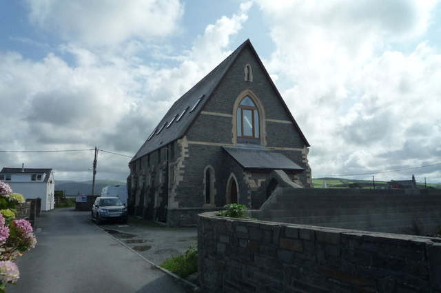
Image: © Fabian Musto Taken: 25 Aug 2018
This chapel is now converted into residential use. Viewed from the path/lane that leads up to St. Matthew's Church.
Images are licensed for reuse under creativecommons.org/licenses/by-sa/2.0
Image Location
Latitude
52.490029
Longitude
-4.050572