Stowford Manor [2]
Introduction
The photograph on this page of Stowford Manor [2] by Michael Dibb as part of the Geograph project.
The Geograph project started in 2005 with the aim of publishing, organising and preserving representative images for every square kilometre of Great Britain, Ireland and the Isle of Man.

There are currently over 7.5m images from over 14,400 individuals and you can help contribute to the project by visiting https://www.geograph.org.uk
Stowford Manor [2]
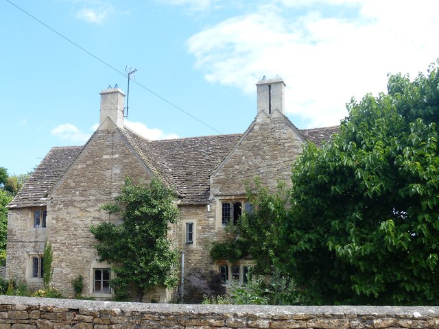
Image: © Michael Dibb Taken: 10 Jul 2018
The gabled cross-wings of this lovely farmhouse. It was built in the late 15th/early 16th century with alterations in the 17th and 19th centuries. Obviously a house of importance in the 15th and 16th centuries, there are some original internal features. Listed, grade II*, with details at: https://www.historicengland.org.uk/listing/the-list/list-entry/1180800
Images are licensed for reuse under creativecommons.org/licenses/by-sa/2.0
Image Location
Latitude
51.317819
Longitude
-2.272869