Whinney Lane
Introduction
The photograph on this page of Whinney Lane by Derek Harper as part of the Geograph project.
The Geograph project started in 2005 with the aim of publishing, organising and preserving representative images for every square kilometre of Great Britain, Ireland and the Isle of Man.

There are currently over 7.5m images from over 14,400 individuals and you can help contribute to the project by visiting https://www.geograph.org.uk
Whinney Lane
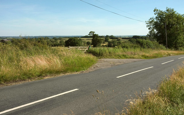
Image: © Derek Harper Taken: 24 Jun 2018
Taken about 100 metres southwest along the lane shown in Image], with a view over the Clark Beck valley.
Images are licensed for reuse under creativecommons.org/licenses/by-sa/2.0
Image Location
Latitude
53.97109
Longitude
-1.558631