Mossmire, Ilton
Introduction
The photograph on this page of Mossmire, Ilton by Gordon Hatton as part of the Geograph project.
The Geograph project started in 2005 with the aim of publishing, organising and preserving representative images for every square kilometre of Great Britain, Ireland and the Isle of Man.

There are currently over 7.5m images from over 14,400 individuals and you can help contribute to the project by visiting https://www.geograph.org.uk
Mossmire, Ilton
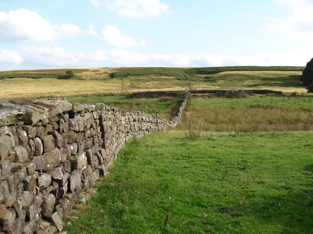
Image: © Gordon Hatton Taken: 21 Aug 2018
Pasture land and rough grazing on the south side of Ilton. The name 'Mossmire' is shown on 19thC maps as there was once a dwelling of that title in the middle distance where the walls can be seen. A sturdy gritstone wall marks the field boundary here.
Images are licensed for reuse under creativecommons.org/licenses/by-sa/2.0
Image Location


Leaflet Map data © OpenStreetMap
Latitude
54.198024
Longitude
-1.704747