Stream and Footbridges
Introduction
The photograph on this page of Stream and Footbridges by Paul Franks as part of the Geograph project.
The Geograph project started in 2005 with the aim of publishing, organising and preserving representative images for every square kilometre of Great Britain, Ireland and the Isle of Man.

There are currently over 7.5m images from over 14,400 individuals and you can help contribute to the project by visiting https://www.geograph.org.uk
Stream and Footbridges
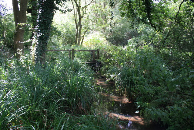
Image: © Paul Franks Taken: 17 Aug 2018
Two footbridges carry footpaths over the stream in The Wilderness. The handrails of the upstream bridge are just visible behind the ivy covered tree trunk.
Images are licensed for reuse under creativecommons.org/licenses/by-sa/2.0
Image Location
Latitude
51.733705
Longitude
0.62149