Road Junction
Introduction
The photograph on this page of Road Junction by Paul Franks as part of the Geograph project.
The Geograph project started in 2005 with the aim of publishing, organising and preserving representative images for every square kilometre of Great Britain, Ireland and the Isle of Man.

There are currently over 7.5m images from over 14,400 individuals and you can help contribute to the project by visiting https://www.geograph.org.uk
Road Junction
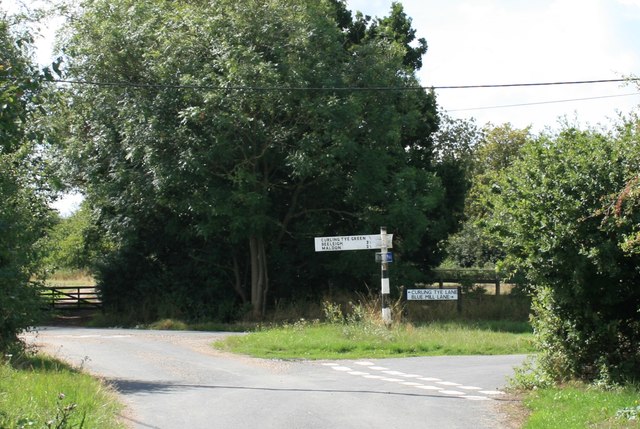
Image: © Paul Franks Taken: 17 Aug 2018
The junction of Hop Gardens Lane with Curling Tye Lane and Blue Mill Lane. The track beyond the gate on the left leads to Whitehouse Farm.
Images are licensed for reuse under creativecommons.org/licenses/by-sa/2.0
Image Location
Latitude
51.736029
Longitude
0.630171