Great Comberton; the junction of Hands Orchard with the main road
Introduction
The photograph on this page of Great Comberton; the junction of Hands Orchard with the main road by David Smith as part of the Geograph project.
The Geograph project started in 2005 with the aim of publishing, organising and preserving representative images for every square kilometre of Great Britain, Ireland and the Isle of Man.

There are currently over 7.5m images from over 14,400 individuals and you can help contribute to the project by visiting https://www.geograph.org.uk
Great Comberton; the junction of Hands Orchard with the main road
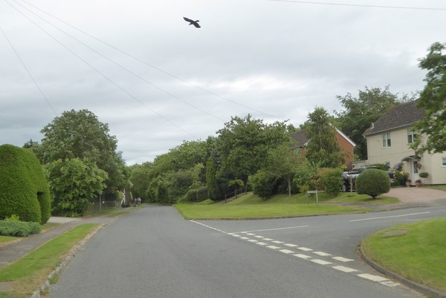
Image: © David Smith Taken: 16 Jun 2018
On older maps, the area now occupied by the houses in Hands Orchard was a 4 acre field. A second orchard on the maps, stood behind it, which is now a field
Images are licensed for reuse under creativecommons.org/licenses/by-sa/2.0
Image Location
Latitude
52.07976
Longitude
-2.066056