Boundary Lane, Walworth, south London
Introduction
The photograph on this page of Boundary Lane, Walworth, south London by Robin Stott as part of the Geograph project.
The Geograph project started in 2005 with the aim of publishing, organising and preserving representative images for every square kilometre of Great Britain, Ireland and the Isle of Man.

There are currently over 7.5m images from over 14,400 individuals and you can help contribute to the project by visiting https://www.geograph.org.uk
Boundary Lane, Walworth, south London
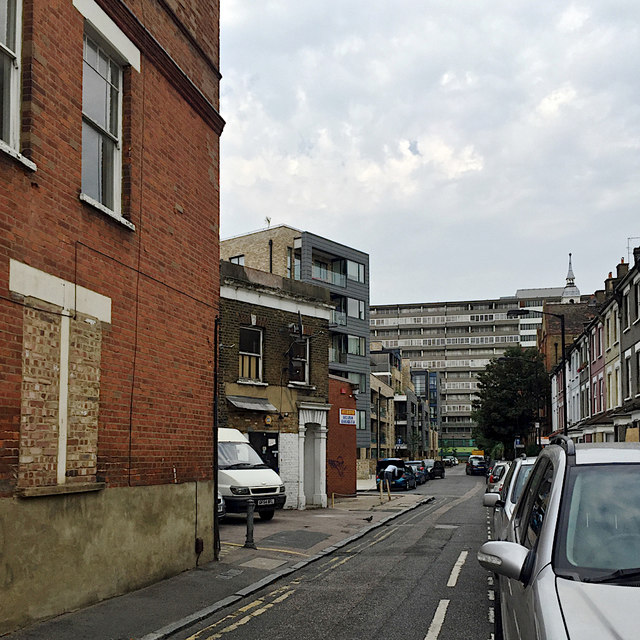
Image: © Robin Stott Taken: 27 Aug 2016
The architectural pot-pourri that is Walworth. Against the backdrop of 14-storey Bradenham flats on the Aylesbury Estate Image there is recent regeneration on the left Image and older terraced houses on the right. An administrative boundary once ran along the south side of the lane and its continuation.
Images are licensed for reuse under creativecommons.org/licenses/by-sa/2.0
Image Location
Latitude
51.483019
Longitude
-0.093638