The A815 road at Sandbank
Introduction
The photograph on this page of The A815 road at Sandbank by Thomas Nugent as part of the Geograph project.
The Geograph project started in 2005 with the aim of publishing, organising and preserving representative images for every square kilometre of Great Britain, Ireland and the Isle of Man.

There are currently over 7.5m images from over 14,400 individuals and you can help contribute to the project by visiting https://www.geograph.org.uk
The A815 road at Sandbank
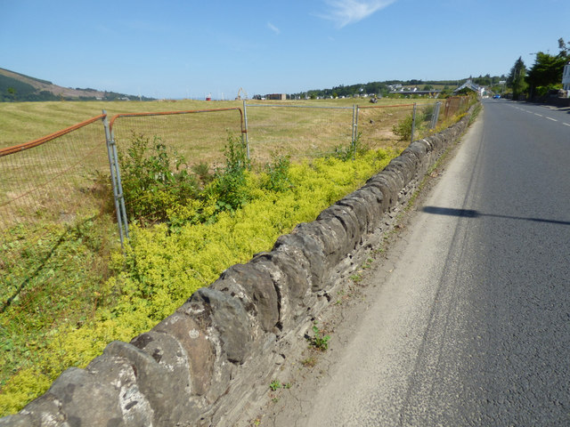
Image: © Thomas Nugent Taken: 2 Jul 2018
The land on the left, near Holy Loch Marina, has been reclaimed in recent years, having previously been a dumping ground for rubble.
Images are licensed for reuse under creativecommons.org/licenses/by-sa/2.0
Image Location
Latitude
55.983686
Longitude
-4.952098