Westbourne Road, Lower Holloway
Introduction
The photograph on this page of Westbourne Road, Lower Holloway by Stephen McKay as part of the Geograph project.
The Geograph project started in 2005 with the aim of publishing, organising and preserving representative images for every square kilometre of Great Britain, Ireland and the Isle of Man.

There are currently over 7.5m images from over 14,400 individuals and you can help contribute to the project by visiting https://www.geograph.org.uk
Westbourne Road, Lower Holloway
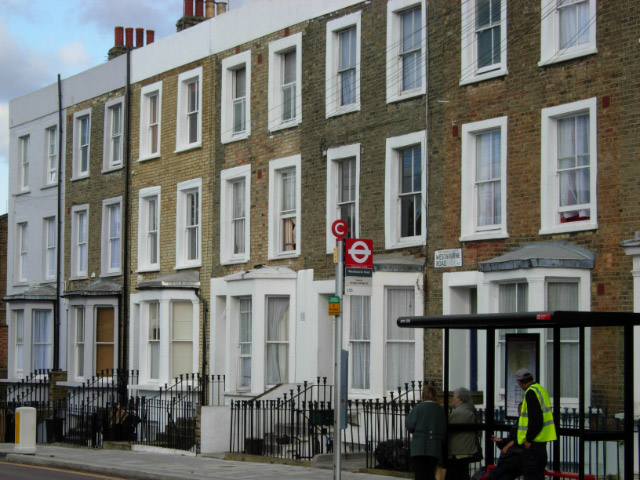
Image: © Stephen McKay Taken: 17 Oct 2007
Looking towards the junction with Mackenzie Road; the terrace is typical of the Victorian housing in the area.
Images are licensed for reuse under creativecommons.org/licenses/by-sa/2.0
Image Location
Latitude
51.548182
Longitude
-0.113849