Arscott Golf Club
Introduction
The photograph on this page of Arscott Golf Club by Richard Webb as part of the Geograph project.
The Geograph project started in 2005 with the aim of publishing, organising and preserving representative images for every square kilometre of Great Britain, Ireland and the Isle of Man.

There are currently over 7.5m images from over 14,400 individuals and you can help contribute to the project by visiting https://www.geograph.org.uk
Arscott Golf Club
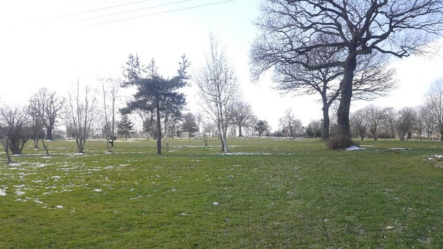
Image: © Richard Webb Taken: 19 Mar 2018
On former farmland, but also an area with an industrial heritage. This is the Shrewsbury coal field and there was a colliery nearby with associated brickworks.
Images are licensed for reuse under creativecommons.org/licenses/by-sa/2.0
Image Location
Latitude
52.672963
Longitude
-2.835981