Beech, path and Trebursye Manor
Introduction
The photograph on this page of Beech, path and Trebursye Manor by Derek Harper as part of the Geograph project.
The Geograph project started in 2005 with the aim of publishing, organising and preserving representative images for every square kilometre of Great Britain, Ireland and the Isle of Man.

There are currently over 7.5m images from over 14,400 individuals and you can help contribute to the project by visiting https://www.geograph.org.uk
Beech, path and Trebursye Manor
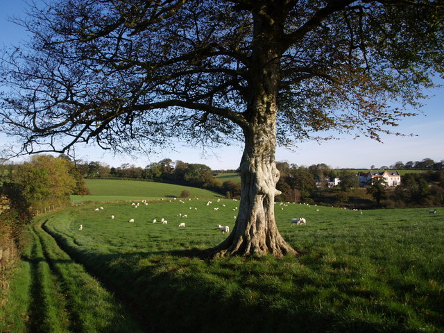
Image: © Derek Harper Taken: 18 Oct 2007
Footpath 552/1/1 runs along the edge of the field past this prominent beech tree. Trebursye Manor, now a residential care home, is on the far side of Lowley Brook.
Images are licensed for reuse under creativecommons.org/licenses/by-sa/2.0
Image Location


Leaflet Map data © OpenStreetMap
Latitude
50.623341
Longitude
-4.393978