Horsley Tower
Introduction
The photograph on this page of Horsley Tower by Gordon Hatton as part of the Geograph project.
The Geograph project started in 2005 with the aim of publishing, organising and preserving representative images for every square kilometre of Great Britain, Ireland and the Isle of Man.

There are currently over 7.5m images from over 14,400 individuals and you can help contribute to the project by visiting https://www.geograph.org.uk
Horsley Tower
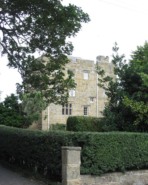
Image: © Gordon Hatton Taken: 15 Aug 2018
According to Pevsner's guide to the buildings of Northumberland, this is a sixteenth century tower offering some protection from Scottish raiders. The third floor was used as a RC chapel in the late 18th and early 19th centuries, whilst the tower was restored in 1930. Now a private residence.
Images are licensed for reuse under creativecommons.org/licenses/by-sa/2.0
Image Location
Latitude
55.245467
Longitude
-1.771595