Former golf driving range, Oakdale
Introduction
The photograph on this page of Former golf driving range, Oakdale by M J Roscoe as part of the Geograph project.
The Geograph project started in 2005 with the aim of publishing, organising and preserving representative images for every square kilometre of Great Britain, Ireland and the Isle of Man.

There are currently over 7.5m images from over 14,400 individuals and you can help contribute to the project by visiting https://www.geograph.org.uk
Former golf driving range, Oakdale
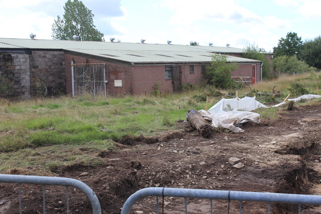
Image: © M J Roscoe Taken: 16 Aug 2018
The building is about to be demolished to make way for part of a housing estate. The white plastic is part of a reptile exclusion fence.
Images are licensed for reuse under creativecommons.org/licenses/by-sa/2.0
Image Location
Latitude
51.676151
Longitude
-3.174139