Thatched house by the A338 in Great Shefford
Introduction
The photograph on this page of Thatched house by the A338 in Great Shefford by David Smith as part of the Geograph project.
The Geograph project started in 2005 with the aim of publishing, organising and preserving representative images for every square kilometre of Great Britain, Ireland and the Isle of Man.

There are currently over 7.5m images from over 14,400 individuals and you can help contribute to the project by visiting https://www.geograph.org.uk
Thatched house by the A338 in Great Shefford
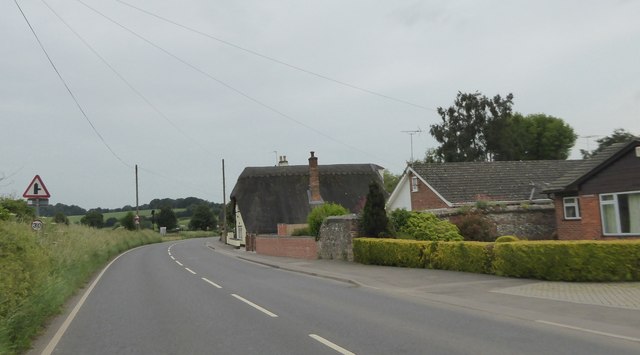
Image: © David Smith Taken: 9 Jun 2018
The stone wall is probably the boundary of the garden and orchard that is shown on the 1880 OS map
Images are licensed for reuse under creativecommons.org/licenses/by-sa/2.0
Image Location
Latitude
51.476151
Longitude
-1.443586